Mongolia at a glance
Location: Between Siberian Russia and China
Area: 1,564,116km2 – the size of most of Western Europe
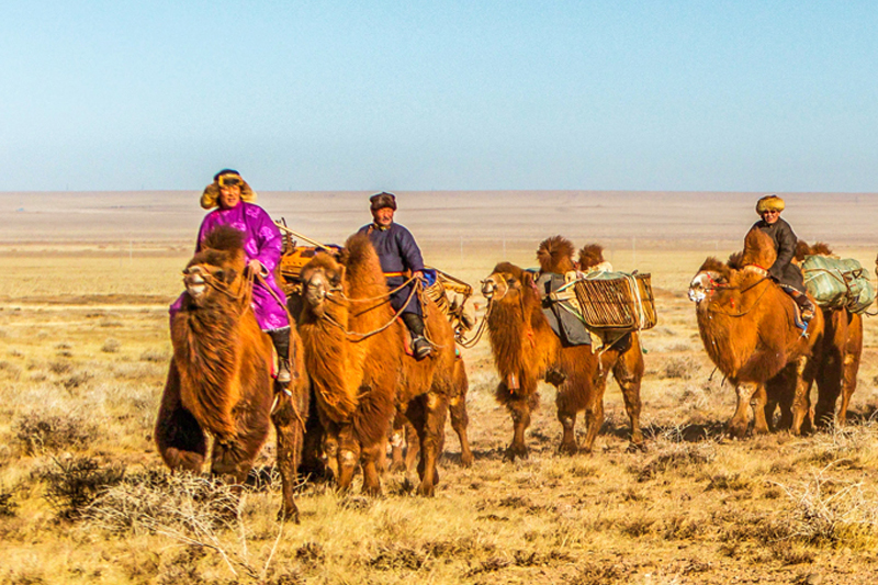
Relief: Mountains to the north, centre and southwest comprise 40% of the land; the remainder is rolling plateau with great expanses of steppe, semi-desert and desert plains.
Highest point: Khuiten peak (4374m) in the Tavan bogd range in the Altai Mountains.
Lowest point: Hoh Nuur (560 metres)
Climate: Continental, marked by four seasons, with sharp variations.
Read more
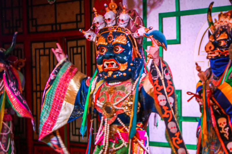
Language, Culture and Religion
Language: Mongolia (an Altaic language); Russian and English widely spoken Mongolian scrips: Mongolia has used a number of scripts throughout its history but the most used has been the Uighur Mongolian scrip. Uighur Mongolia script- In 1204 – today, created by the Tata-Tonga. Galik alphabet- In 1587, created by the translator and scholar Ayuush Gььsh Todo alphabet- In 1648, created by the Oirat Buddhist monk Zaya Pandita Phags-pa script (Square script) - In 1269, designed by the Tibetan monk Drogцn Chцgyal Phagpa for Kublai Khan, the founder of the Yuan dynasty
Read more